Your Cart is Empty


West Africa's Water Tower
Why is Guinea considered West Africa's "Water Tower"?
Located in West Africa, Guinea is officially known as the Republic of Guinea (not to be confused with Equatorial Guinea or Guinea-Bissau). Guinea extends southeast in a crescent from the Atlantic coast of West Africa.
Its topography varies from coastal plains to inland mountains that account for about 60 percent of the land area. Several of the region’s major rivers, in particular the Niger, Senegal, and Gambia, all originate from these highlands, making Guinea the “water tower” of West Africa. These rivers drain vast arable plains [1].
The country is recognised as a global biodiversity hotspot, and Guinea’s 12 million people share their home with an impressive array of wildlife and plant species [2].
|
|
Total Surface Area: 245,857 km2 (land: 245,717 sq km | water: 140 sq km)
|
| Geographic coordinates: 11 00 N, 10 00 W |
| Area - comparative: slightly smaller than Oregon |
| Climate: generally hot and humid; monsoonal-type rainy season (June to November) with southwesterly winds; dry season (December to May) with northeasterly harmattan winds |
| Estimated population: 11,855,411 (2018 est.) | Capital: Conakry: 1.843 million (2018) |
| GDP per capita (2016 est.): USD $1,300 |

Map of Guinea's Land Cover


How are forests managed in Guinea?

Many of Guinea’s forest reserves have become degraded as a result of population pressure, slash-and-burn agriculture, and uncontrolled burning. To combat forest degradation, the government of Guinea has adopted new, more effective approaches to forest management, strengthening community participation in management activities, control over natural resources, and the environment. [4, 5].
In conducting research into similar and existing programs in Guinea and surrounding regions, the Reforestation Project team has discovered several reforestation projects using co-management of forested areas, which is a recent approach being tested in Guinea. Co-management models in replanting and protecting forested lands involve sharing responsibilities and costs between the state, local communities, and other partnering organizations.
We will be sharing more information about how these projects’ methods are shaping Wula Reforestation Project’s plans along with more details about our project’s next steps soon. To stay up to date on the latest details of the Reforestation Project, join our mailing list.
The majority of Guinea’s population is rural, and more than 70% of the population works in the agriculture, livestock, fishery, forestry, and mining sectors.
Farms are family-owned and operated, and generally small: two-thirds are less than three hectares. Population growth, the extension of farmland, and growing numbers of livestock have increased conflict over land and natural resources, particularly in areas where herders negotiate with farmers for access, where mining operations are established, and where refugees fleeing violence in neighboring countries have relocated. In addition, unregulated commercial logging has expanded, increasing land degradation and deforestation [6].
Guinea’s forests are now mostly limited to a few mountainous areas in the south (Ziama and Nimba), and to gallery forests along watercourses. Guinean landscapes also have the largest extent of lateritic plateaus, called bowé, creating natural clearings of treeless meadows. They are a common feature in the north and west of the country. In addition, Guinea is endowed with huge deposits of mineral resources. Its Atlantic shoreline supports a large-scale fishing industry and has developed large commercial harbors, such as Conakry and Kamsar.
25% of Guinea’s land area is forested, of which just 1% is primary forest. The annual rate of deforestation was 0.5% for the period 1990-2015. Nearly all of the country’s forests are state-owned, and just under 4% are designated as protected areas [7].
Many of Guinea’s forest reserves have become degraded as a result of population pressure, slash-and-burn agriculture, and uncontrolled burning. The remaining forests and woodlands of Guinea play a critical role in preserving biodiversity in West Africa [8].
Main issues and challenges of the agricultural and rural sector in Guinea
According to The Food and Agriculture Organization, the main problems and challenges facing Guinean rural communities are:
- food and nutrition insecurity of vulnerable populations;
- degradation of natural resources;
- the weak technical, financial and organizational capacity of the public and private sectors;
- the low resilience of populations to prevent and cope with food crises and natural disasters;
- low agricultural productivity;
- inadequate infrastructure and markets;
How does Wula recognize its environmental responsibility?

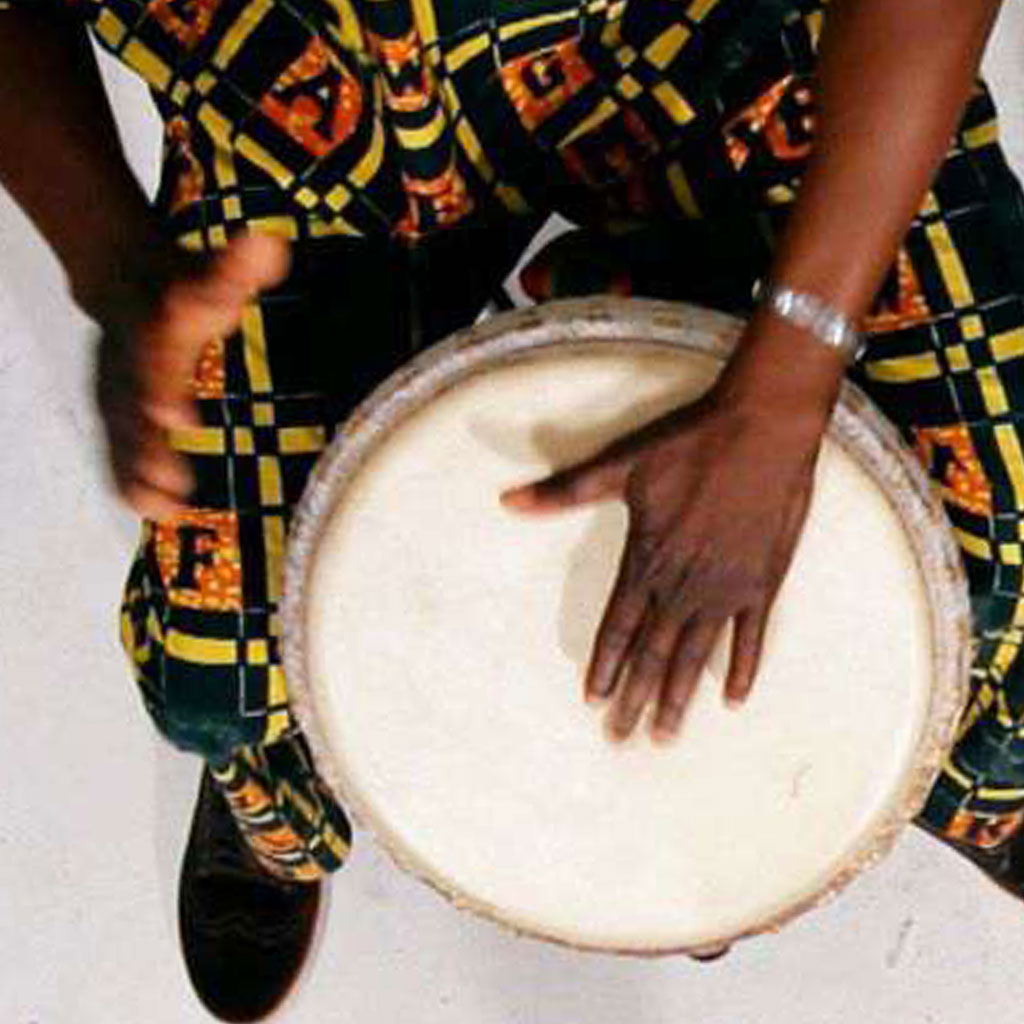
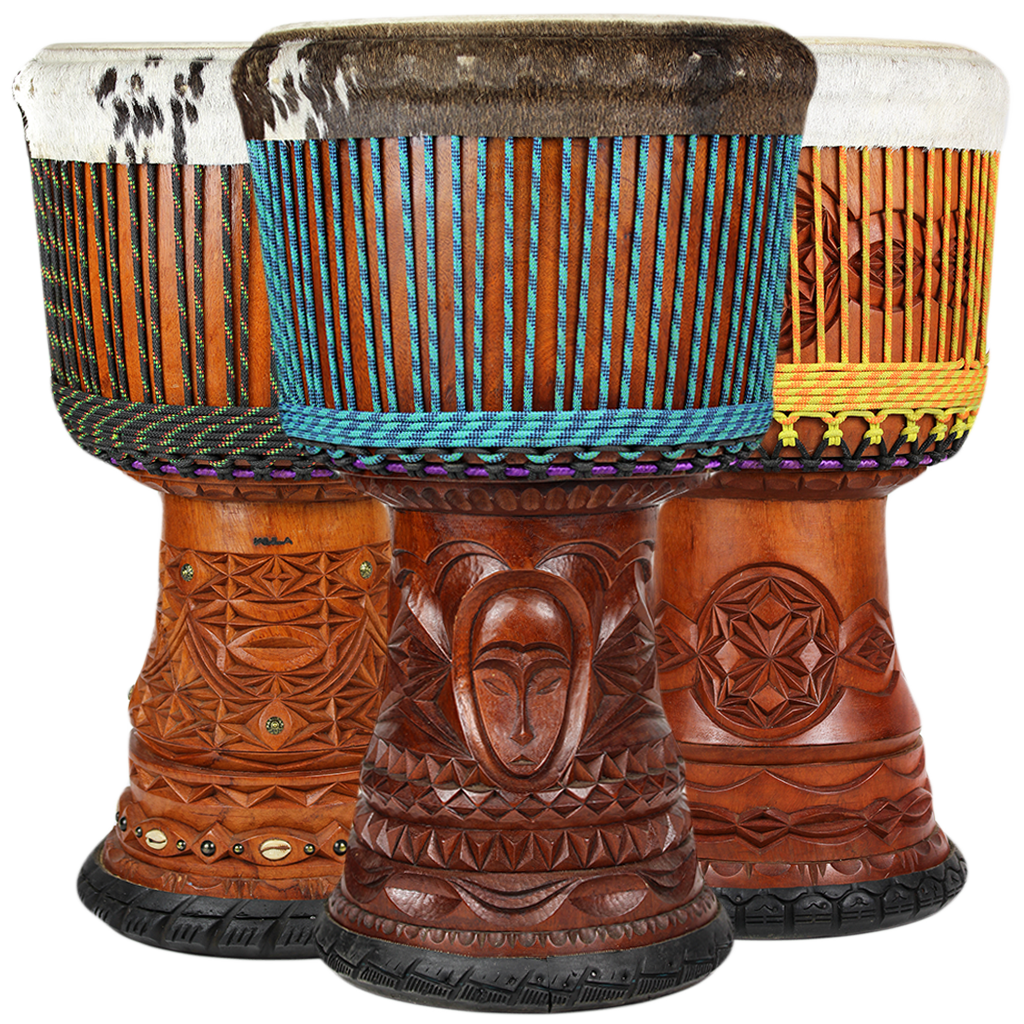
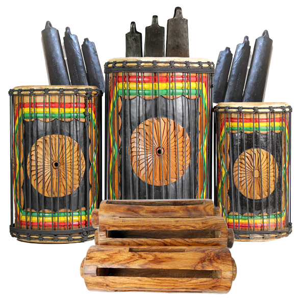
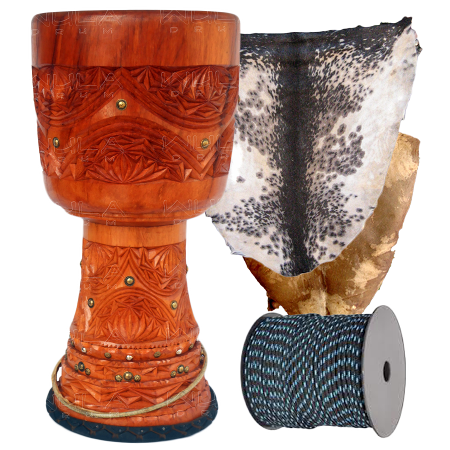
The name “Wula” was chosen by our artistic director, M’Bemba Bangoura. It is a word in the Susu language, meaning “deep inside the forest”. We are driven by a passion for empowering West African drum makers and performing artists to enjoy successful careers, and to continue the legacy of the djembe around the world.
Selective cutting, if conducted responsibly, allows for both sustainability of forest areas and the communities that surround them.
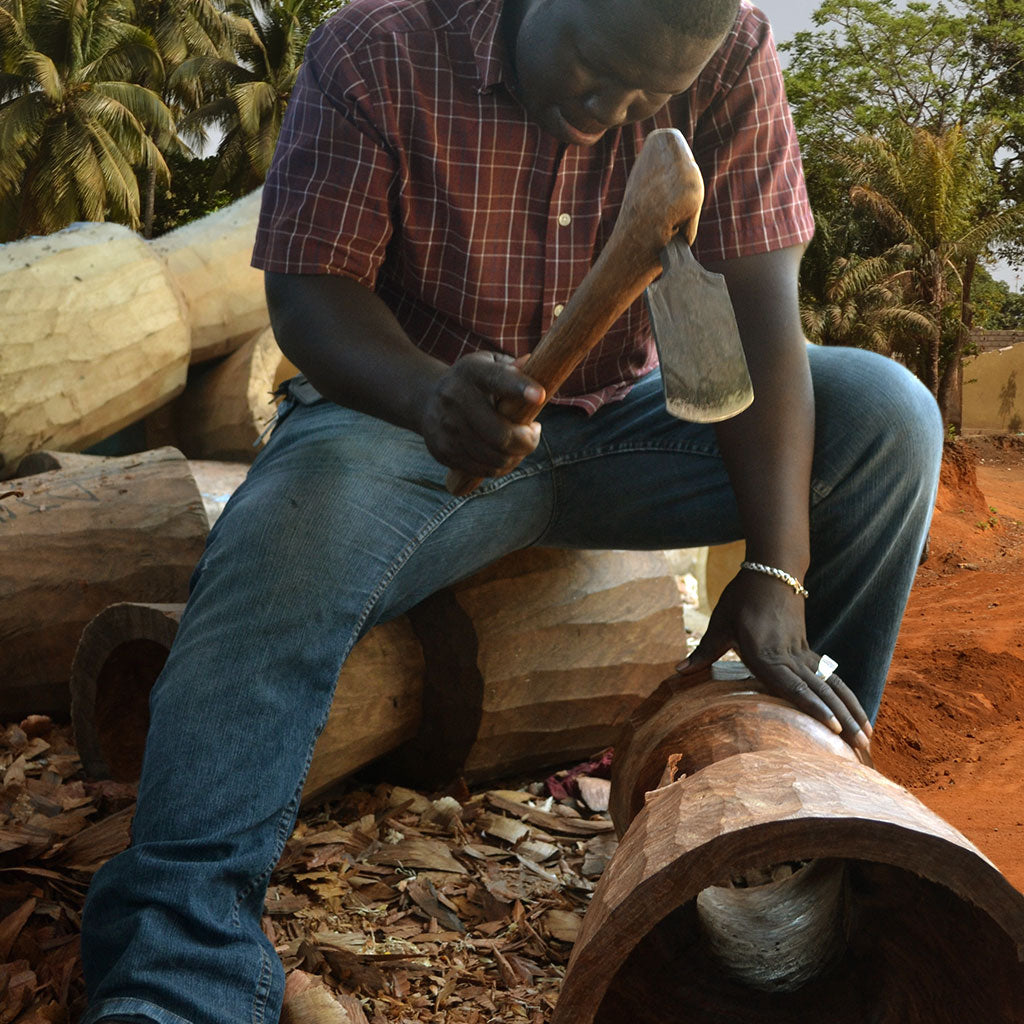
Wula recognizes its environmental responsibility, and has made a commitment to the preservation of forests and the communities it serves. We use an approach that fosters forest stewardship by everyone involved in the manufacturing of our products. We extract wood for our instruments selectively and work directly with drum carvers in the region to evaluate the areas where our carvers are working. In this effort, we range from forest area to forest area and region to region; and avoid areas where the forest is degraded.
Our carvers' knowledge of the region ensures that the forest remains healthy and growing, and with the ability to support the communities that rely on its resources. Likewise, Wula works with local forest guardians, whose responsibility is to prevent the overharvesting of the forest areas they are in charge of protecting.